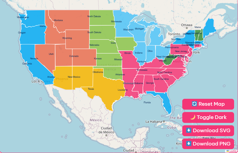
Tip: Click any state to explore details, zoom in and out for clarity, and download the blank printable map in SVG or PNG format.

From the rugged peaks of the Rocky Mountains to the sprawling Great Plains, the United States is a country of immense geographic diversity.
A physical map of the United States reveals this incredible variety, showcasing the nation’s mountains, rivers, deserts, and coastlines.
Understanding these features is more than just a geography lesson; it’s a way to appreciate the natural forces that have shaped the country’s history, culture, and development.
Major Mountain Ranges
The United States is defined by several significant mountain systems that create dramatic landscapes and influence regional climates.
Rocky Mountains
The Rocky Mountains, or the Rockies, are a massive mountain range that forms the backbone of western North America.
Stretching from British Columbia, Canada, down to New Mexico, they separate the western third of the country.
This range is home to the Continental Divide, a hydrological line that determines whether water flows toward the Pacific or the Atlantic Ocean.
The Rockies are known for their rugged beauty, high elevations, and abundant wildlife.
Appalachian Mountains
Running along the eastern United States, the Appalachian Mountains are an older, more weathered mountain system.
They extend from Alabama in the south up through New England and into Canada.
Though lower in elevation than the Rockies, the Appalachians are characterized by rolling hills, lush forests, and deep valleys.
They have played a crucial role in American history, acting as an early barrier to westward expansion.
Sierra Nevada
Located primarily in California, with a portion in Nevada, the Sierra Nevada range is famous for its granite cliffs and snowy peaks.
The name itself means “snowy range” in Spanish. This 400-mile-long range includes iconic natural wonders like Yosemite Valley and Lake Tahoe.
It is also home to Mount Whitney, the highest peak in the contiguous United States.
Cascade Range
The Cascade Range runs along the Pacific Coast, through Washington, Oregon, and Northern California.
This range is part of the Pacific Ring of Fire and includes several active and dormant volcanoes, such as Mount Rainier and Mount Hood.
The Cascades are known for their dramatic, glacier-carved peaks and dense evergreen forests.
Significant Peaks
Across these mountain ranges, numerous peaks stand out for their height and prominence.
| Peak | Location | Noteworthy Feature |
| Denali (formerly Mt. McKinley) | Alaska | The highest peak in North America at 20,310 feet. |
| Mount Whitney | California | The tallest mountain in the contiguous U.S. at 14,505 feet. |
| Mount Elbert | Colorado | The highest summit of the Rocky Mountains at 14,440 feet. |
| Mount Rainier | Washington | An active stratovolcano and the most glaciated peak in the contiguous U.S. |
| Gannett Peak | Wyoming | The highest peak in the Wind River Range of the Rockies. |
| Mauna Kea | Hawaii | A dormant volcano that is the tallest mountain in the world when measured from its oceanic base. |
| Mount Mitchell | North Carolina | The highest peak in the Appalachian Mountains. |
Deserts and Landmarks
The American Southwest is home to vast, arid landscapes and some of the country’s most iconic natural landmarks.
Deserts
Sonoran Desert
Covering parts of Arizona, California, and Mexico, the Sonoran Desert is known for its unique saguaro cacti.
Despite its arid climate, it supports a surprising diversity of plant and animal life.
Chihuahuan Desert
The largest desert in North America, the Chihuahuan Desert spans West Texas, New Mexico, Arizona, and a large portion of northern Mexico.
It is a high-elevation desert known for its dramatic temperature swings.
Landmarks
Grand Canyon
Carved by the Colorado River in Arizona, the Grand Canyon is a massive gorge known for its stunning scale and colorful rock layers.
It is one of the world’s most famous natural wonders.
Death Valley
Located in the Mojave Desert, Death Valley is the hottest, driest, and lowest place in North America. Its Badwater Basin sits at 282 feet below sea level.
Plateaus and Landforms
Between the mountain ranges lie elevated plains and distinct landforms that define large regions of the country.
Plateaus
Columbia Plateau
Found in the northwestern U.S. between the Rockies and the Cascades, this large plateau was formed by ancient volcanic activity.
Colorado Plateau
This high desert region covers the Four Corners area where Arizona, New Mexico, Utah, and Colorado meet.
It is characterized by its canyons, mesas, and buttes, including the Grand Canyon.
Superior Upland
Part of the Canadian Shield, this area around Lake Superior features ancient, hard rock formations and thousands of lakes carved by glaciers.
Other Landforms
Great Basin
A vast arid region in the western U.S., the Great Basin is an area of internal drainage where rivers and streams do not flow to the ocean.
Great Plains
Stretching from the Rockies to the Mississippi River, the Great Plains are a broad expanse of flat land, characterized by prairies, steppes, and grasslands.
Coastal Plain
This low-lying plain extends along the Atlantic Ocean and the Gulf of Mexico, featuring estuaries, marshes, and swamps.
Major Water Bodies
Water has been a powerful force in shaping the American landscape, from mighty rivers to the Great Lakes.
Rivers
The United States has an extensive network of rivers that serve as vital transportation routes and water sources.
Mississippi River
The second-longest river in North America, it flows from Minnesota to the Gulf of Mexico, draining all or part of 31 states.
Missouri River
The longest river in the U.S., it joins the Mississippi near St. Louis, playing a crucial role in the development of the Midwest.
Colorado River
Flowing through the Southwest, this river is famous for carving the Grand Canyon and is a critical water source for the arid region.
Rio Grande
Forming a large part of the U.S.-Mexico border, the Rio Grande flows from Colorado to the Gulf of Mexico.
Great Lakes
Located in the north-central U.S. along the Canadian border, the five Great Lakes Superior, Michigan, Huron, Erie, and Ontario form the largest group of freshwater lakes on Earth.
Oceans and Capes
The United States is bordered by three oceans: the Atlantic to the east, the Pacific to the west, and the Arctic to the north in Alaska.
Prominent coastal features include Cape Cod in Massachusetts, Cape Hatteras in North Carolina, and Cape Mendocino in California.
A Regional Breakdown
The physical geography of the U.S. can also be understood by looking at its distinct regions.
East Coast
Characterized by the low Appalachian Mountains and the broad Atlantic Coastal Plain. It features a mix of rolling hills and temperate forests.
Midwest
Dominated by the Great Lakes in the north and fertile farmland known as the Central Lowland. The Ohio and Tennessee Valleys consist of rolling hills.
Southeast
Features subtropical forests, mangrove swamps, and the southern end of the Appalachian Mountains.
The Gulf Coastal Plain extends along the Gulf of Mexico.
West Coast
Defined by its mountain ranges, including the Sierra Nevada and the Cascades. It has a diverse coastline with rugged cliffs and sandy beaches.
Understanding the American Landscape
By exploring these features, you gain a deeper appreciation for the country’s natural heritage.
The next time you look at a map or travel across the country, take a moment to notice the landforms around you and consider the powerful forces that created them.